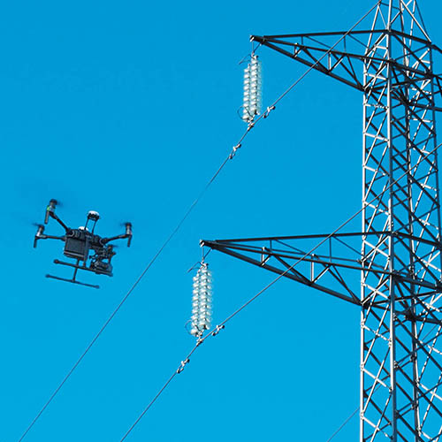
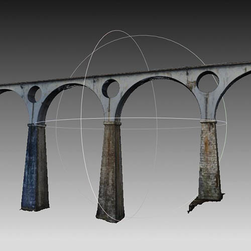
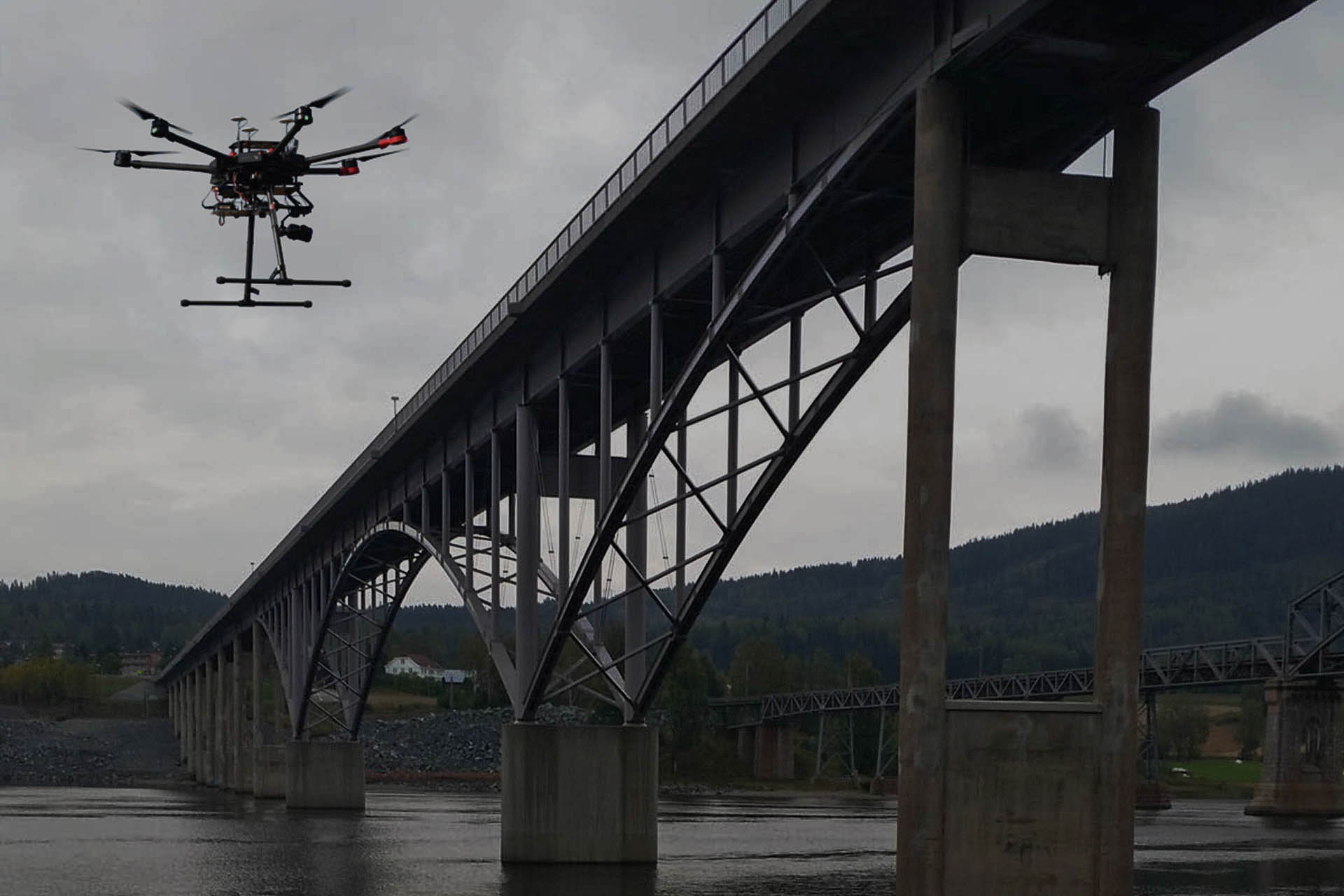
Over the years, we developed 3D monitoring and modeling systems for infrastructures, which allow surveying a great variety of structures and surfaces, based on the use of UAVs (Unmanned Aerial Vehicles) equipped with state-of-the-art high resolution georeferenced cameras, and Near-infrared (NIR), Forward-Looking Infrared Radiometer (FLIR), Multispectral sensors that enable, in full compliance of current ENAC (Ente Nazionale per l’Aviazione Civile, Italian Civil Aviation Authority) regulations, a drastic reduction in the amount of time needed to receive and provide substantial information hard to gather using traditional systems. Surveying with UAVs can be applied to any element, for example, bridges, viaducts, dams, landslides, power lines, road or rail infrastructures, historical buildings and cultural properties, and also to the performance of high definition aerial mapping. The innovative surveying methodologies proposed can be used in several fields and, besides the geometric properties, also allow the definition of information relating to state of conservation, existing defects or damages related to deterioration or natural disasters.
ROAD ASSET MANAGEMENT
Currently, transportation infrastructure management entities must follow a strategic approach that allows harnessing, as best as possible, the resources available in order to ensure that their network operates in the best possible conditions.
This approach is called Road Asset Management and consists of the ongoing monitoring of the road assets, accompanied by a management system based on engineering principles, with the identification of objective parameters for the scheduling of the maintenance and requalification interventions, thereby optimizing the spending of available funds.


